Written by T. Adeniyi for Blackborderbuild.com
1st June 2015
Blackborderbuild.com are very well interested in the impact that transport infrastructure will have on the emerging Lagos-Ogun Metropolitan areas. The Lagos & Ogun State Mass Transit system is a very complex network of rail routes and other transport systems and nodes that will invariably influence the pattern of growth, movement, liveability and legibility in the two neighbouring states irreversibly.
There are complex settlement patterns, topographic constraints, demographics and socio-economic trends in general that influence how such transport networks are devised (And we will visit this at a later time); however for all intents and purposes, the Lagos/Ogun rail routes have mirrored the areas of settlement along the South-North corridor of both states and also the South-North corridor (Lagos - Kano). The settlement pattern of Lagos State is essentially north oriented, with growth originating near the coast and moving Northwards into a mushroom cloud shape.
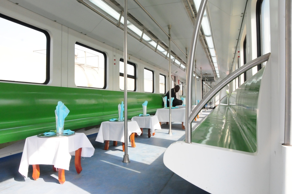
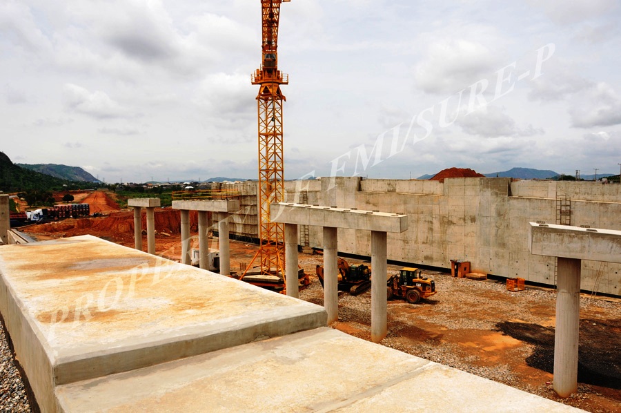
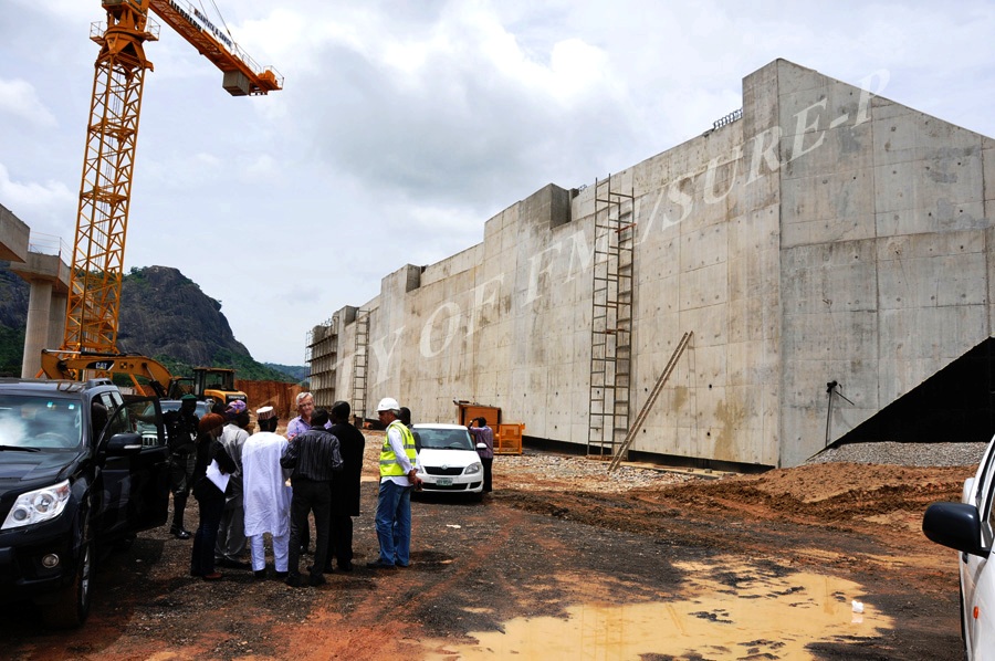
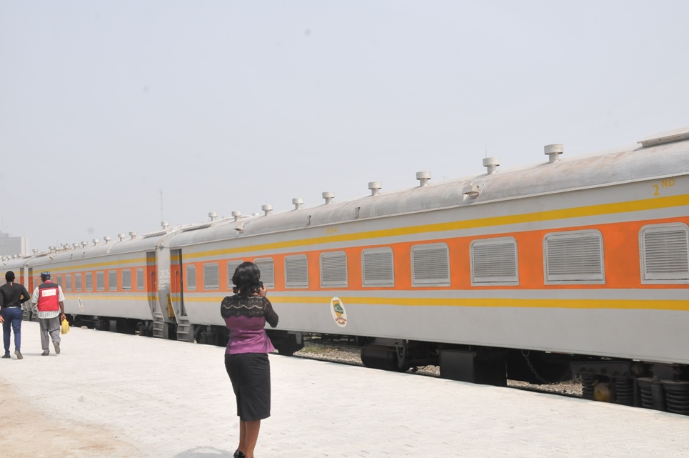
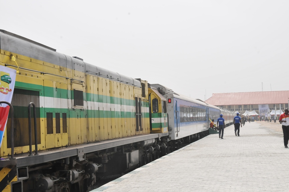
So the key rail routes (As seen in our map below) are actually those that extend from Lagos Marina towards Ogun State and beyond. Firstly, let us introduce the key lines in the this network. There are 12 Standard Gauge Lines (1 is being built, another is about to commence and the rest will follow soon), there is 1 Narrow Gauge Line operated by the Nigerian Railway Corporation; which extends from Lagos - Ibadan and then to Kano ultimately. There is also a Monorail system proposed for Victoria Island and an even smaller tram system in Eko Atlantic City (Which we have not covered).
They are:
LAMATA (LAGOS) RAIL LINES
With this rail system fully implemented, Lagos State in particular would be adequately interconnected, with the Fourth Mainland Bridge plugging the missing link in the Lekki - Ikorodu axis.
They are:
LAMATA (LAGOS) RAIL LINES
- BLUE LINE (OKOKOMAIKO - MARINA) (Standard Gauge)
- RED LINE (AGBADO - MARINA) (Standard Gauge)
- GREEN LINE (MARINA - LEKKI FTZ) (Standard Gauge)
- YELLOW LINE (OTTA - IDDO) (Standard Gauge)
- PURPLE LINE (REDEEM - OJO) (Standard Gauge)
- BROWN LINE (JIBOWU - MILE 12 ) (Standard Gauge)
- VICTORIA ISLAND MONORAIL (Monorail)
- NARROW GAUGE (LAGOS - IBADAN) (Narrow Gauge)
- HIGH SPEED RAIL (LAGOS - IBADAN) (Standard Gauge)
- COASTAL RAIL (ITORI - IPERU - IJEBU ODE) (Standard Gauge)
- PHASE 1 (ABEOKUTA - SAGAMU - IJEBU ODE) (Standard Gauge)
- PHASE 2 (AGBARA - OWODE - ILARO - ABEOKUTA
- b) OWODE - OTA - IJOKO - SAGAMU) (Standard Gauge)
- PHASE 3 (IDIROKO - OWODE) (Standard Gauge)
- PHASE 4 (AGBADO - IJOKI - ITORI - ABEOKUTA) (Standard Gauge)
With this rail system fully implemented, Lagos State in particular would be adequately interconnected, with the Fourth Mainland Bridge plugging the missing link in the Lekki - Ikorodu axis.
-01.png)
Lagos & Ogun State Rail Routes (This map is the property of blackborderbuild.com) Click the Image for a Larger Size
However one subject in which many people do not discuss is the issue of profitability, relevance and population distribution. Some of these lines bear a significantly greater weight on Lagos' growth than others. The Red Line for example, which has just gotten the green light is actually a more significant boost for Lagos than even the ongoing Blue Line.
1) The most lucrative or significant line is the Coastal Railway which runs from Itori - Iperu - Ijebu Ode - Alakuko - Kajola - Ore - Yalowo - Ugbogbwi - Benin City - Sapele - Warri - East Warri - Oduobori - Amassama - Yenagoa - Abua - Emuoha -
Harcourt - Onne - Aba - Obot - Utu - Uyo and finally Calabar (Cross River State).
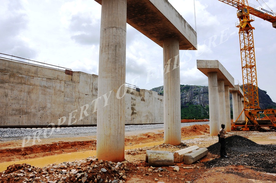
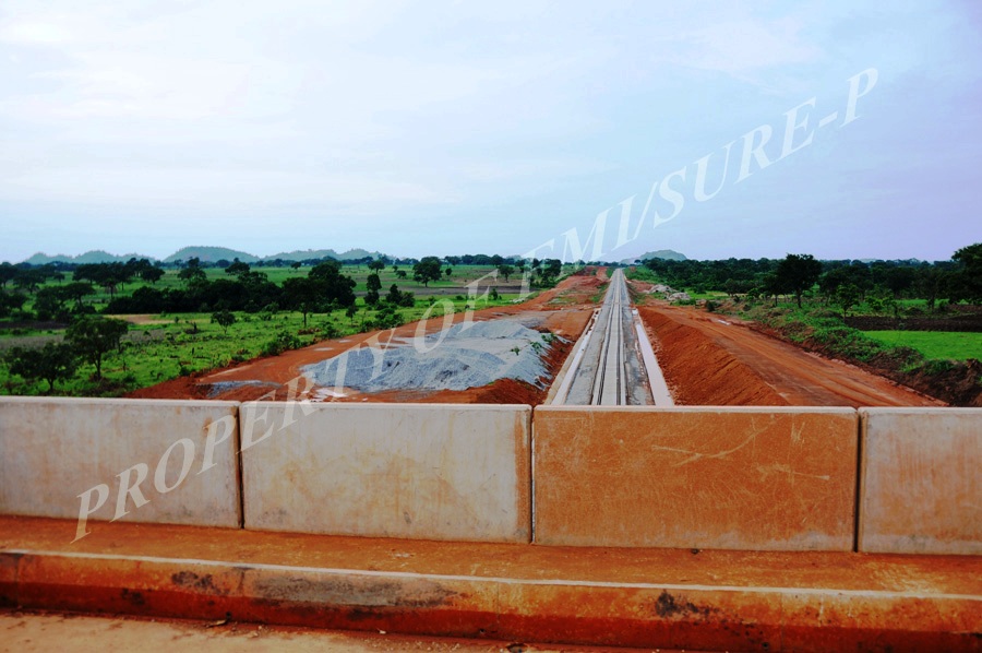
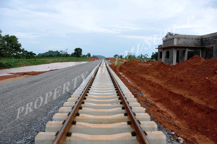
2) The second most lucrative or significant is the Lagos - Ibadan Fast Rail, which will be the fastest line in Nigeria, alongside the Abuja - Kaduna and other segments of the Lagos - Kano Standard Gauge. This line is not simply faster than the Narrow Rail (150 km/hr Vs 70 km/hr); but the alignment is actually more efficient. The Narrow Gauge runs alongside geographical features such as the Ogun River and does not take the most ideal route. The new Fast Rail will be built with modern Culverts, Box Girder bridges etc and will be more direct. The impact of this line economically cannot be understated.
3) The Lagos Red Line (Which runs through a very populated corridor as shown in the map below), will be the most lucrative of the Intra City Lagos lines
4) The Yellow Line, Purple Line, Blue Line and Green Lines are the next lucrative or significant Lagos routes (In that order) as shown in the population density overlay below.
5) The Ogun State system (Phases 1 - 4) are also very important because of the industrial hubs that are springing up throughout the state, as well as other economic processes.
There are also other considerations to take note of. Some lines are more critical for the financial nature of the city or for the inter-connection of the city. For example the Red Line will connect to MMIA and MM2 as shown in both maps. The Blue Line connects with the Lagos Marina and then connects to the Green Line, which will take passengers to the proposed Lekki International Airport and Lekki FTZ.
1) The most lucrative or significant line is the Coastal Railway which runs from Itori - Iperu - Ijebu Ode - Alakuko - Kajola - Ore - Yalowo - Ugbogbwi - Benin City - Sapele - Warri - East Warri - Oduobori - Amassama - Yenagoa - Abua - Emuoha -
Harcourt - Onne - Aba - Obot - Utu - Uyo and finally Calabar (Cross River State).
2) The second most lucrative or significant is the Lagos - Ibadan Fast Rail, which will be the fastest line in Nigeria, alongside the Abuja - Kaduna and other segments of the Lagos - Kano Standard Gauge. This line is not simply faster than the Narrow Rail (150 km/hr Vs 70 km/hr); but the alignment is actually more efficient. The Narrow Gauge runs alongside geographical features such as the Ogun River and does not take the most ideal route. The new Fast Rail will be built with modern Culverts, Box Girder bridges etc and will be more direct. The impact of this line economically cannot be understated.
3) The Lagos Red Line (Which runs through a very populated corridor as shown in the map below), will be the most lucrative of the Intra City Lagos lines
4) The Yellow Line, Purple Line, Blue Line and Green Lines are the next lucrative or significant Lagos routes (In that order) as shown in the population density overlay below.
5) The Ogun State system (Phases 1 - 4) are also very important because of the industrial hubs that are springing up throughout the state, as well as other economic processes.
There are also other considerations to take note of. Some lines are more critical for the financial nature of the city or for the inter-connection of the city. For example the Red Line will connect to MMIA and MM2 as shown in both maps. The Blue Line connects with the Lagos Marina and then connects to the Green Line, which will take passengers to the proposed Lekki International Airport and Lekki FTZ.
-01.png)
Lagos & Ogun State Rail Routes & Population Density (This map is the property of blackborderbuild.com) Click the Image for a Larger Size
We hope you have enjoyed our insight and mapping and be sure to comment on your thoughts. The following maps are the creation of Blackborderbuild.com so reproduce with the appropriate credits.


 RSS Feed
